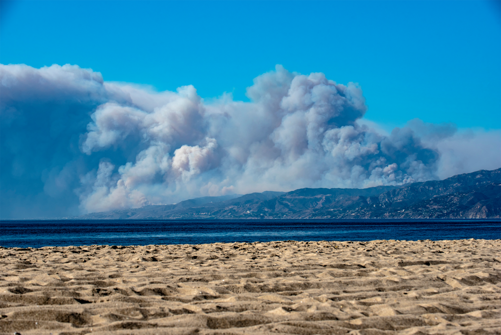
As of today, the Franklin Fire continues to devastate the Malibu region, forcing thousands of residents to evacuate and threatening iconic landmarks such as Pepperdine University. Fueled by dry conditions and red flag warnings, the fire has rapidly consumed more than 12,000 acres since igniting early this week. Fire crews are working tirelessly, yet containment remains at only 20% due to erratic winds reaching speeds of up to 40 mph.
Current Situation:
Evacuations and Closures Mandatory evacuation orders are in place for neighborhoods from Topanga Canyon to the western boundary of Malibu. Evacuation shelters have been established at local community centers and nearby cities for displaced residents. Pepperdine University has enacted its shelter-in-place protocol, housing students and faculty safely on campus grounds.
Impact on Infrastructure Pacific Coast Highway, a critical artery for the region, is closed in multiple sections, complicating evacuation efforts and hampering access for emergency responders. Power outages have been reported in surrounding areas, further intensifying challenges for residents and businesses. Firefighters are also focused on protecting high-value properties and cultural sites while conducting controlled burns to prevent the fire’s spread.
Weather Conditions The National Weather Service has issued red flag warnings across Southern California, with the region experiencing record-low humidity levels. The combination of Santa Ana winds and prolonged drought conditions has created a perfect storm for wildfire expansion. Forecasts predict the winds will persist into the evening, posing ongoing risks to containment efforts.
Juvare Solutions for Wildfire Preparedness and Response
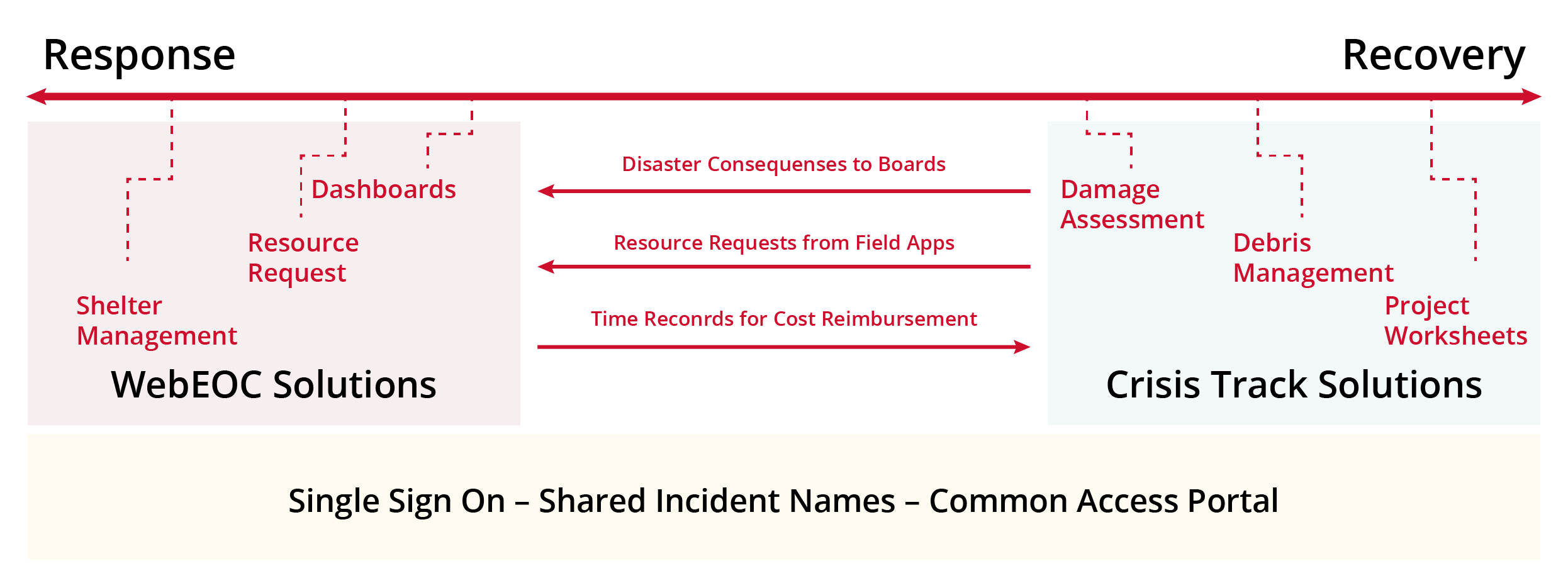
Wildfires like the Franklin Fire underscore the critical need for advanced emergency management tools that support both preparation and response. Juvare’s solutions—including Crisis Track and WebEOC—are designed to empower emergency managers with real-time data and streamlined workflows to tackle disasters of this scale.
Crisis Track:
- Facilitates efficient damage assessment by integrating GIS data and real-time imagery, enabling swift decisions during evacuation and response phases.
- Simplifies FEMA reporting processes for Public Assistance and Individual Assistance, ensuring that affected communities receive aid promptly.
- Offers citizen reporting capabilities that allow residents to share critical information about on-the-ground conditions directly with emergency teams.
WebEOC:
- Provides centralized dashboards for situational awareness, ensuring all stakeholders—from first responders to local governments—have access to consistent, actionable information.
- Enhances asset management by tracking resources such as personnel, equipment, and shelter availability in real time.
- Strengthens interagency communication, fostering collaboration across jurisdictions to combat fires more effectively.
As the Franklin Fire continues to challenge Southern California, tools like Crisis Track and WebEOC can make a tangible difference in saving lives, protecting property, and ensuring a coordinated response.
The Franklin Fire serves as a stark reminder of the growing risks posed by wildfires, especially as climate change exacerbates drought conditions and weather volatility. As firefighters and emergency responders work around the clock to protect Malibu, leveraging innovative technology solutions is more crucial than ever to mitigate the impacts of such disasters.
Juvare remains committed to supporting communities in times of crisis, providing the tools and expertise needed to navigate these challenges with resilience and precision. Stay tuned for more updates as the situation develops. Our thoughts are with all those affected by the Franklin Fire and the brave individuals on the frontlines of this battle.


